

AgEagle · Agricultural · 2022
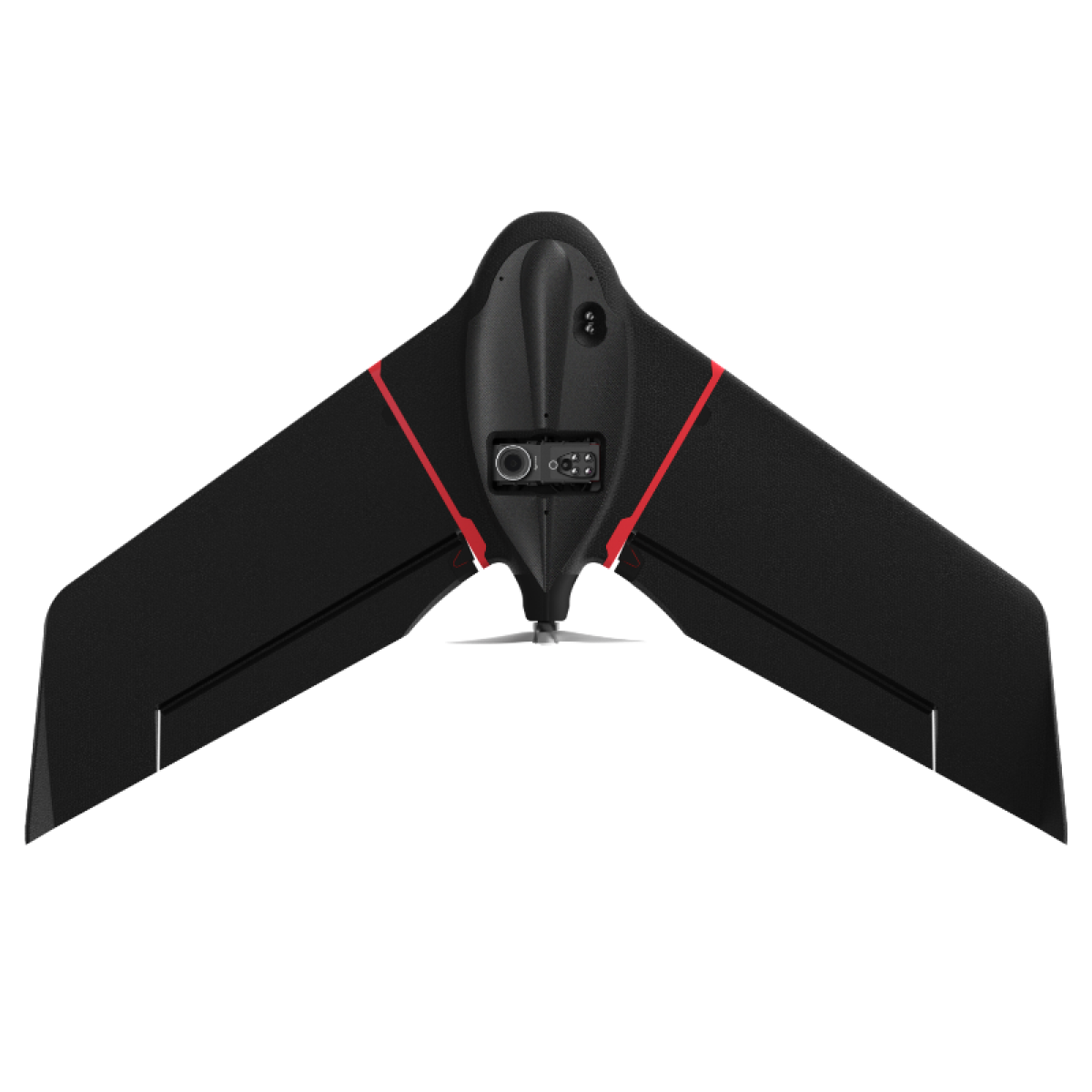
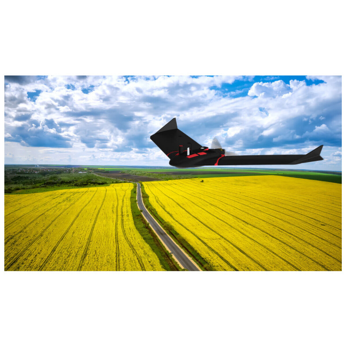
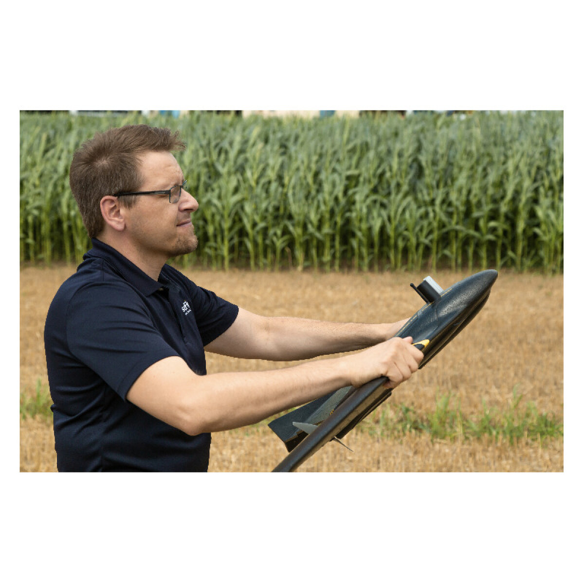
Affordable fixed-wing agriculture drone from AgEagle (which acquired senseFly in 2021). Combines a dual-purpose RGB + 4-band multispectral camera (Duet M) to generate NDVI, NDRE, and DSM maps for crop scouting. Up to 55-minute flight time with endurance battery, covers 160 hectares (395 acres) in a single flight. With optional RTK, achieves 2.5 cm (1 in) absolute accuracy. Light weight (1.6 kg) qualifies for BVLOS and Operations Over People in many regulatory frameworks. Compatible with major FMIS — Climate FieldView, My John Deere, PIX4D, DroneDeploy, Trimble Ag, AGCO Fuse, xarvio, etc.
Price level: ★☆☆☆☆
View full interactive profile, comparisons & videos →| Category | Agricultural |
| Sub-type | Fixed-Wing Agricultural Mapping Drone |
| Status | Active |
| Year | 2022 |
| Origin | Switzerland / USA |
| Released | 2022 |
| Weight | 1.6 kg |
| Frame | Reinforced polypropylene woven mesh underbelly (shock absorbent) |
| Payload | 0.15 kg |
| Max speed | 15 m/s |
| Battery life | 45 minutes min |
| Camera | RGB and multispectral imaging capabilities |
| Connectivity | Wi-Fi, Bluetooth |
| Use cases | Crop scouting, NDVI/NDRE field health mapping, Early disease detection, Yield monitoring, Variable rate application planning |
| Made in | Switzerland (senseFly heritage; AgEagle USA brand since 2021 acquisition) |