Wingcopter · Drones · 2020
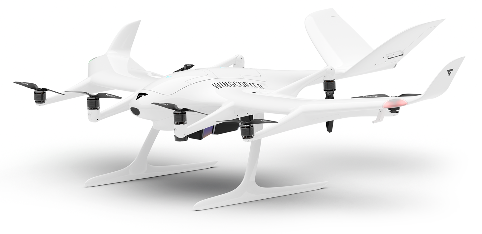
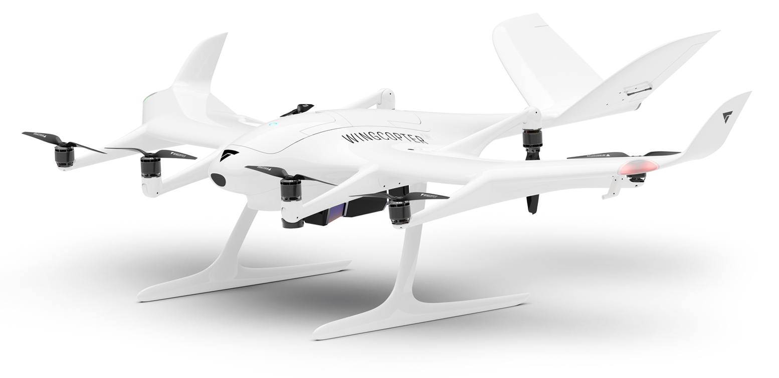
The long-range LiDAR-surveying configuration of Wingcopter's flagship 198 - the same patented tilt-rotor eVTOL used for delivery, re-purposed (from Feb 2025) with a high-end laser scanner and camera system to map linear infrastructure at scale. The tilt-rotor airframe (198 x 152 x 65 cm, 25 kg max takeoff weight, eight rotors of which four tilt, plus winglets) hovers to launch then cruises efficiently at 90 km/h, carrying a ~4.5 kg sensor payload up to 60 km of infrastructure in a single BVLOS mission. Its LiDAR offers a 100-degree field of view and up to a 2.4 MHz pulse rate, firing the beam in three directions (nadir, +10 and -10 degrees) for complete capture of vertical surfaces, canyons and power lines, yielding up to 570 points/m2 at 10 mm accuracy / 5 mm precision - covering 10.3 km2 (~2,500 acres) in about 42 minutes. Redundant flight controls (dual airspeed/heading/GNSS, eight motors and ESCs, two hot-swap smart batteries) and a 5,000 m ceiling suit it to inspecting power lines, pipelines, railways and roads and mapping hard-to-reach terrain.
Price on application
View full interactive profile, comparisons & videos → Check price on Amazon →| Category | Drones |
| Sub-type | Long-Range LiDAR Surveying eVTOL (tilt-rotor) |
| Status | Active |
| Year | 2020 |
| Origin | Germany |
| Released | 2020 |
| Weight | 6.5 kg |
| Payload | 4.5 kg |
| Max speed | 16.7 m/s |
| Battery life | 59 minutes min |
| Max range | 94 km |
| Camera | High-resolution RGB camera for visual inspection |
| Connectivity | Wi-Fi, LTE/5G + satellite |
| Use cases | Power-line / pipeline inspection, Railway / road survey, Terrain / vegetation mapping |
| Made in | Germany |