AgEagle · Drones · 2012
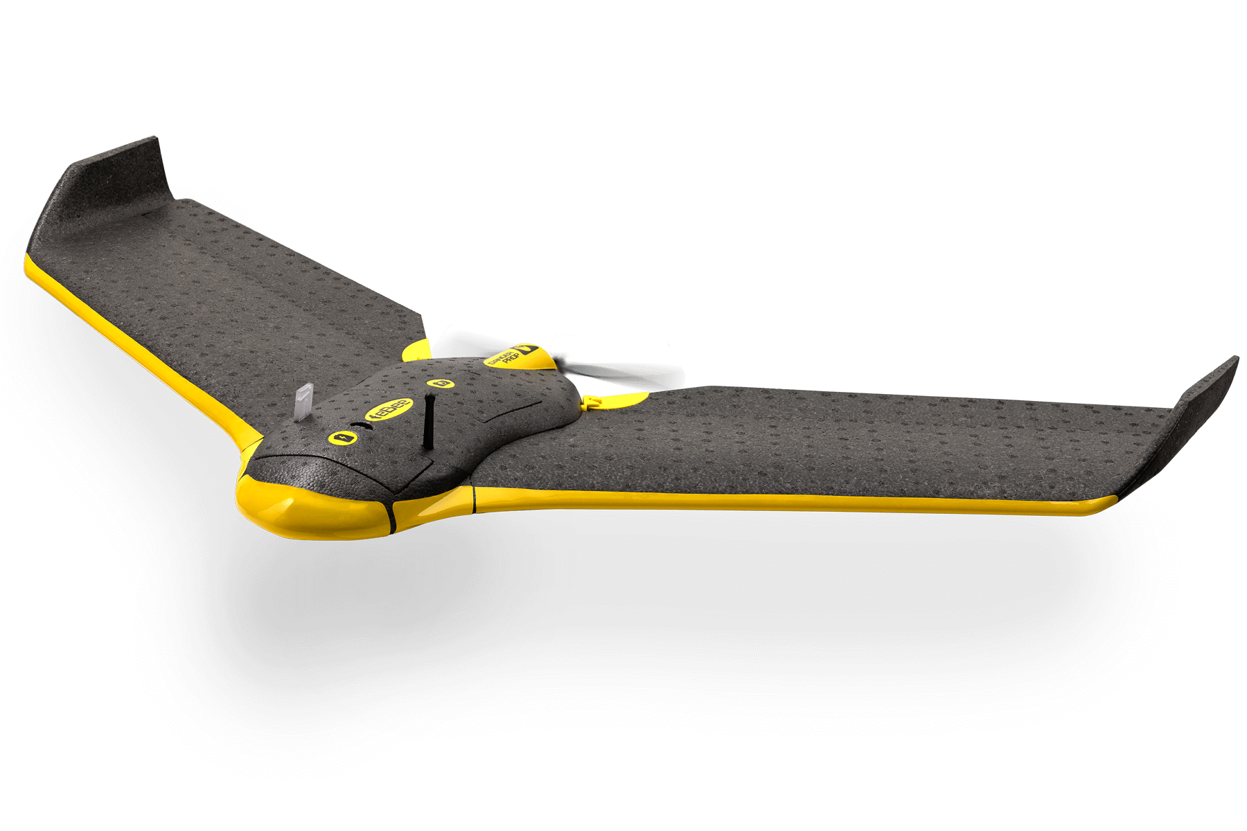
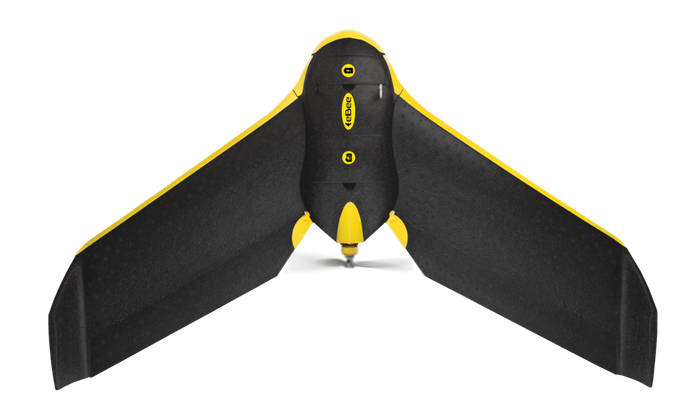
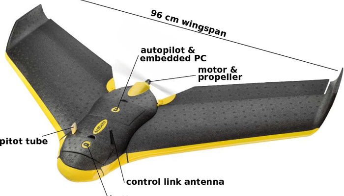
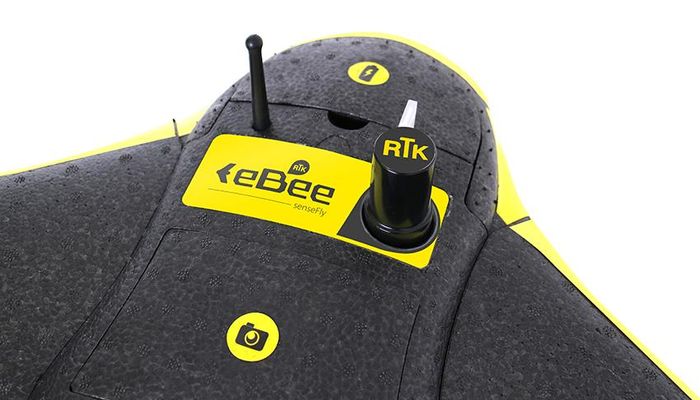
The original eBee - senseFly's foam-airframe fixed-wing mapping drone that helped popularize professional drone surveying. Hand-launched and belly-landed with no need for a runway, the ~96 cm wingspan, ~0.69 kg aircraft flew up to 50 minutes and could map as much as 12 km2 in a single high-altitude flight at cruise speeds of 40-90 km/h, producing imagery down to a few centimeters per pixel. It carried a compact ~16MP RGB camera and flew autonomously via senseFly's eMotion planning software with a linear-landing approach and obstacle detection. A workhorse for land surveying, agriculture and GIS, it was later superseded by the modular eBee X line (now under AgEagle).
Price on application
View full interactive profile, comparisons & videos → Check price on Amazon →| Category | Drones |
| Sub-type | Fixed-Wing Mapping Drone (original eBee) |
| Status | Active |
| Year | 2012 |
| Origin | Switzerland |
| Released | 2012 |
| Weight | 0.69 kg |
| Payload | 0.3 kg |
| Max speed | 11 m/s |
| Battery life | 45 minutes min |
| Flight time | 50 min |
| Camera | 20 MP |
| Connectivity | Wi-Fi |
| Use cases | Land surveying, Agriculture mapping, GIS |
| Made in | Switzerland |
