DJI · Drones · 2020
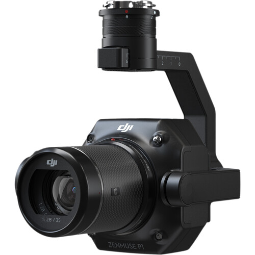
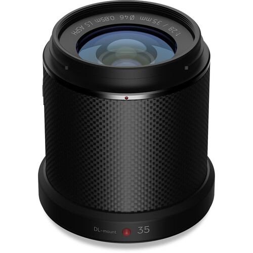
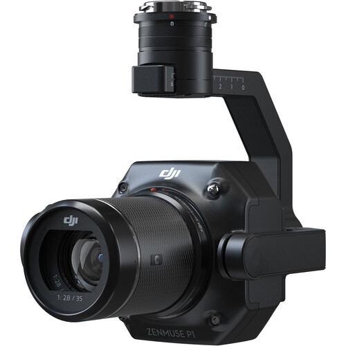
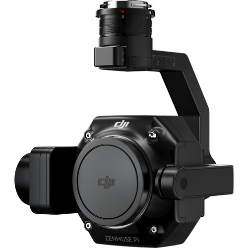
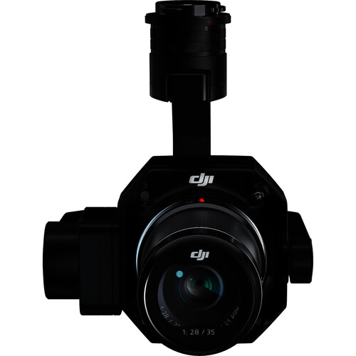
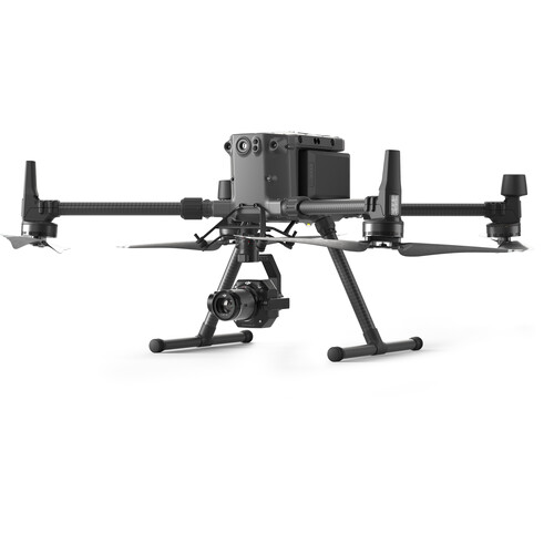
DJI Enterprise's benchmark aerial-surveying payload, pairing a 45MP full-frame sensor (35.9x24mm, 4.4um pixels, 8192x5460 stills) with interchangeable DL-mount fixed lenses (24, 35 and 50mm F2.8) on a 3-axis stabilized gimbal. A global mechanical shutter (1/2000s) plus TimeSync 2.0 microsecond synchronization across camera, RTK, flight controller and gimbal let it hit 3 cm horizontal / 5 cm vertical accuracy without ground control points. It captures a photo every 0.7 s and covers up to 3 km2 per flight (7.5 km2 in a workday using Smart Oblique Capture, where the gimbal auto-rotates to grab only the angles reconstruction needs). The ~800 g unit mounts on the DJI Matrice 300/350/400 RTK and pairs with DJI Pilot 2 and DJI Terra for topographic mapping, cadastral survey, AEC and disaster-site modeling.
Price on application
View full interactive profile, comparisons & videos →| Category | Drones |
| Sub-type | Full-Frame Photogrammetry Payload |
| Status | Active |
| Year | 2020 |
| Origin | China |
| Released | 2020 |
| Dimensions (H×W×D) | 139 × 152 × 163 mm |
| Weight | 0.905 kg |
| Degrees of freedom | 3 |
| Camera | Full-frame 45MP CMOS sensor with interchangeable fixed-focus lenses (24mm, 35mm, 50mm) |
| Use cases | Topographic mapping, Cadastral survey, AEC / construction, Disaster-site modeling |
| Made in | China |
