DJI · Drones · 2025
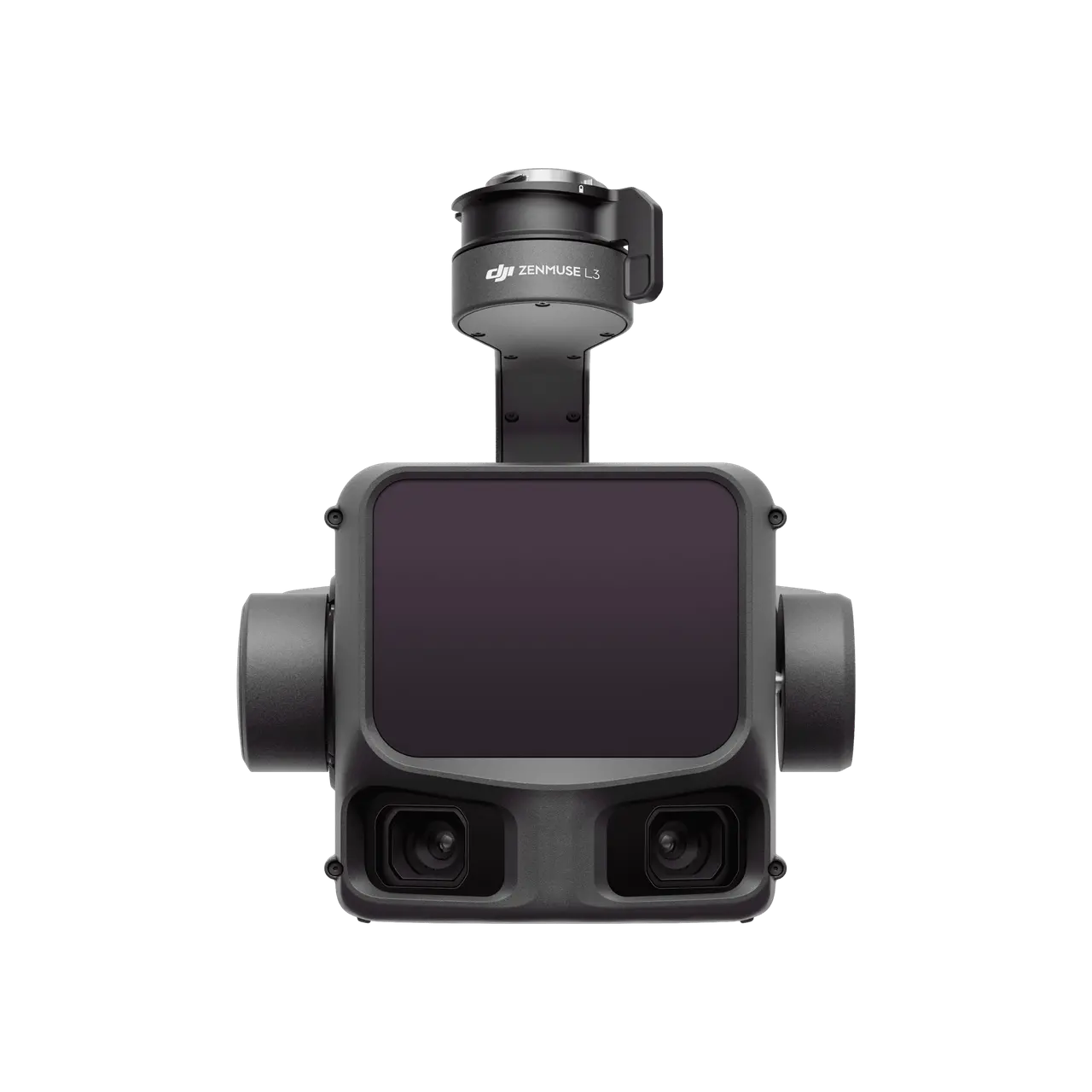
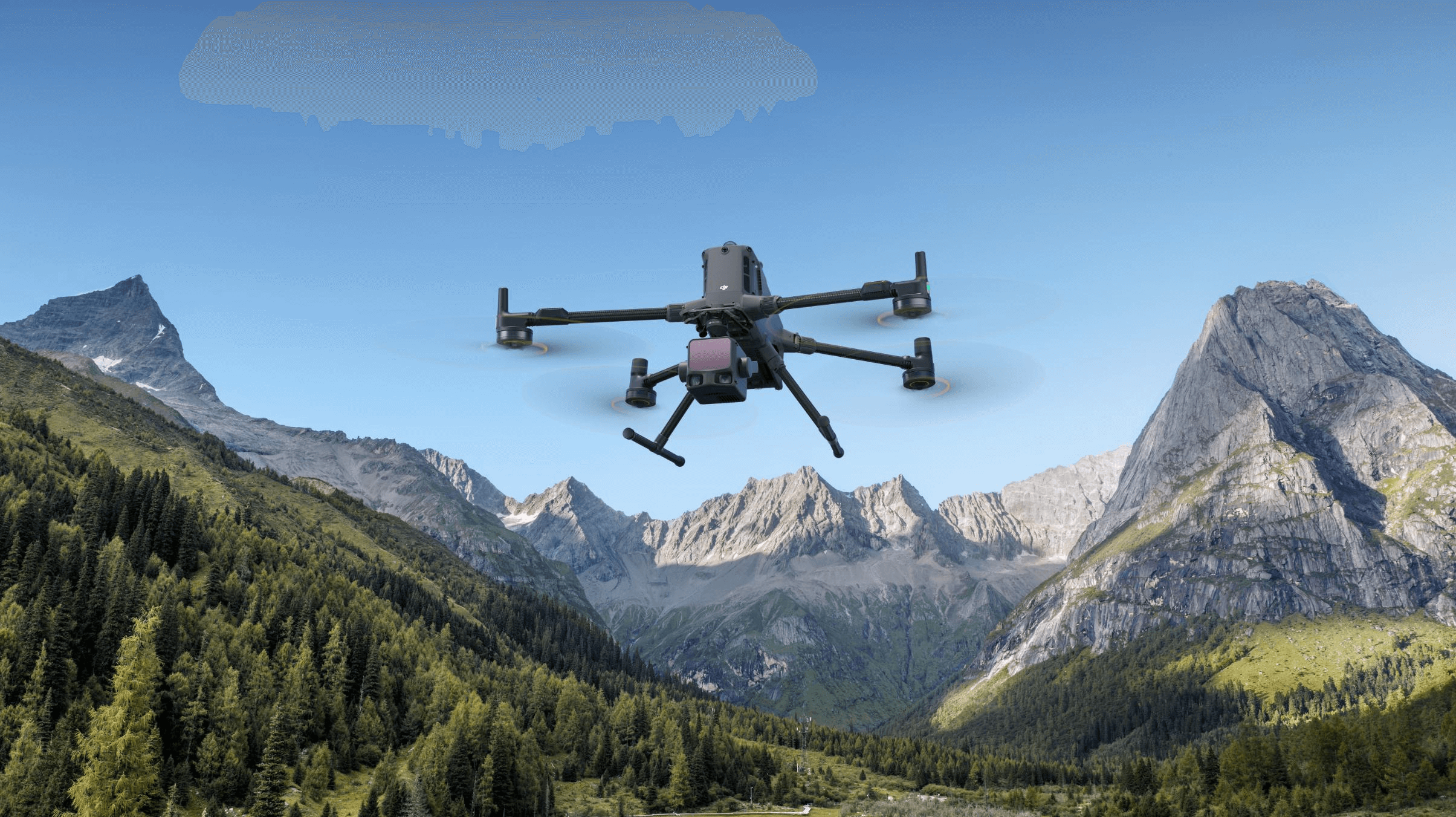
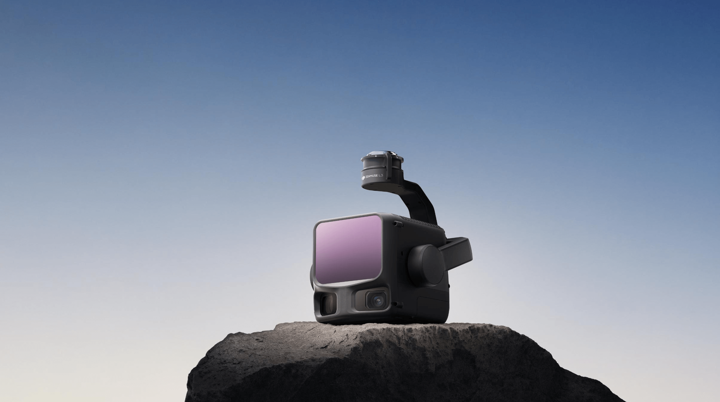
DJI Enterprise's first long-range, high-accuracy aerial LiDAR system (released November 2025), a major step up from the L2. Its self-developed 1535nm LiDAR reaches 950 m even on 10%-reflectivity targets while keeping strong penetration, with 5 mm ranging repeatability at 150 m and microsecond time synchronization. Improved vertical accuracy (3 cm at 120 m, 5 cm at 300 m, 10 cm at 500 m) supports 1:500, 1:1000 and 1:2000 mapping scales, and a 0.25 mrad beam divergence shrinks the laser spot to about one-fifth of the L2's to resolve fine objects like power lines and branches. Dual 100MP 4/3 CMOS RGB cameras with a mechanical shutter and up to 107-degree horizontal FOV deliver 3 cm GSD even at 300 m. Mounted on the Matrice 400 it covers up to 10 km2 per flight (100 km2 a day), capturing LiDAR and RGB together to generate DOM, DEM and more from a single flight, and integrates with the D-RTK 3 station, DJI Terra, DJI Modify and FlightHub 2.
Price on application
View full interactive profile, comparisons & videos →| Category | Drones |
| Sub-type | Long-Range Aerial LiDAR + RGB Payload |
| Status | Active |
| Year | 2025 |
| Origin | China |
| Released | Nov 4, 2025 |
| Dimensions (H×W×D) | 199 × 181 × 166 mm |
| Weight | 1.43 kg |
| Degrees of freedom | 3 |
| Camera | Dual 100MP RGB mapping cameras with mechanical shutter |
| Use cases | Large-scale surveying, Power-line / corridor modeling, Geospatial mapping |
| Warranty | 12 months |
| Made in | China |
