DJI · Drones · 2023
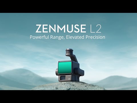
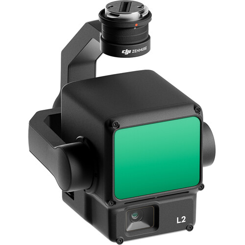
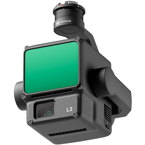
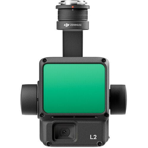
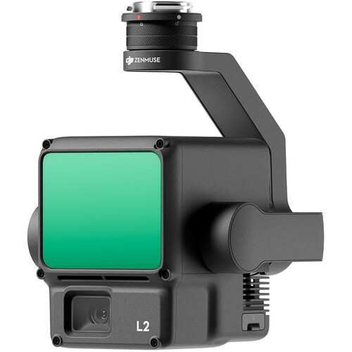
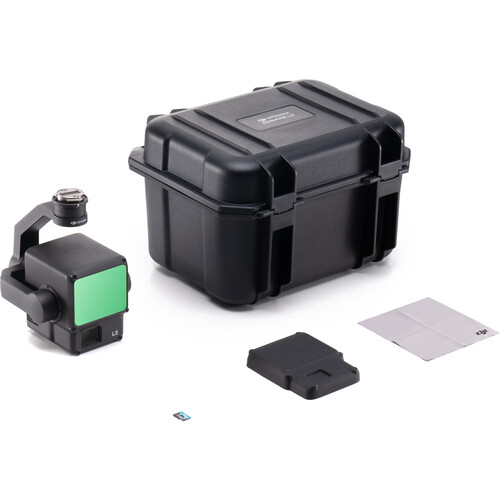
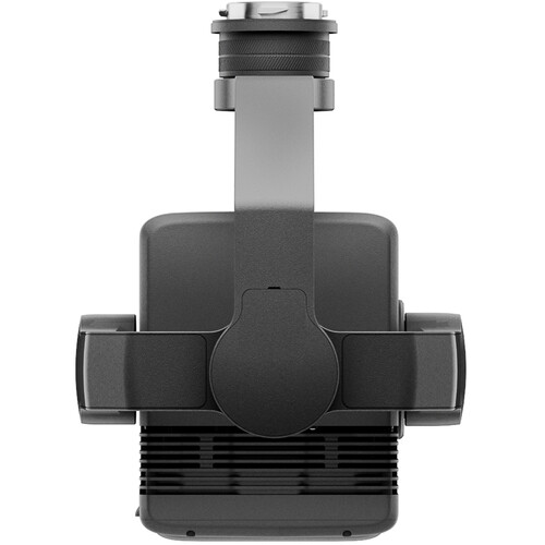
DJI Enterprise's integrated aerial LiDAR mapping payload, combining a frame LiDAR, a self-developed high-accuracy IMU, a 20MP 4/3 CMOS RGB mapping camera and a 3-axis gimbal for precise true-colour point clouds. It detects out to 250 m (10% reflectivity, bright light) or 450 m (50% reflectivity, low light), with a 500 m maximum, from a recommended 30-150 m altitude, and delivers 5 cm horizontal / 4 cm vertical accuracy at 150 m. It fires up to 240,000 points/s single-return (1,200,000 with multiple returns), supports up to five returns for canopy penetration, and cuts the laser spot to about one-fifth of the L1's for finer detail. A single flight covers up to 2.5 km2; the ~905 g, IP54-rated unit mounts on the DJI Matrice 300/350/400 RTK and pairs with DJI Terra for turnkey point-cloud post-processing. Around $15,700, used for land surveying, power-line modeling, forestry and infrastructure inspection.
Price level: ★★★★☆
View full interactive profile, comparisons & videos →| Category | Drones |
| Sub-type | Aerial LiDAR + RGB Payload |
| Status | Active |
| Year | 2023 |
| Origin | China |
| Released | 2023 |
| Dimensions (H×W×D) | 215 × 203 × 142 mm |
| Weight | 1.3 kg |
| IP rating | IP54 |
| Camera | 20MP 4/3 CMOS RGB mapping camera with mechanical shutter |
| Use cases | Land surveying, Power-line modeling, Forestry, Infrastructure inspection |
| Made in | China |