

AgEagle · Drones · 2019
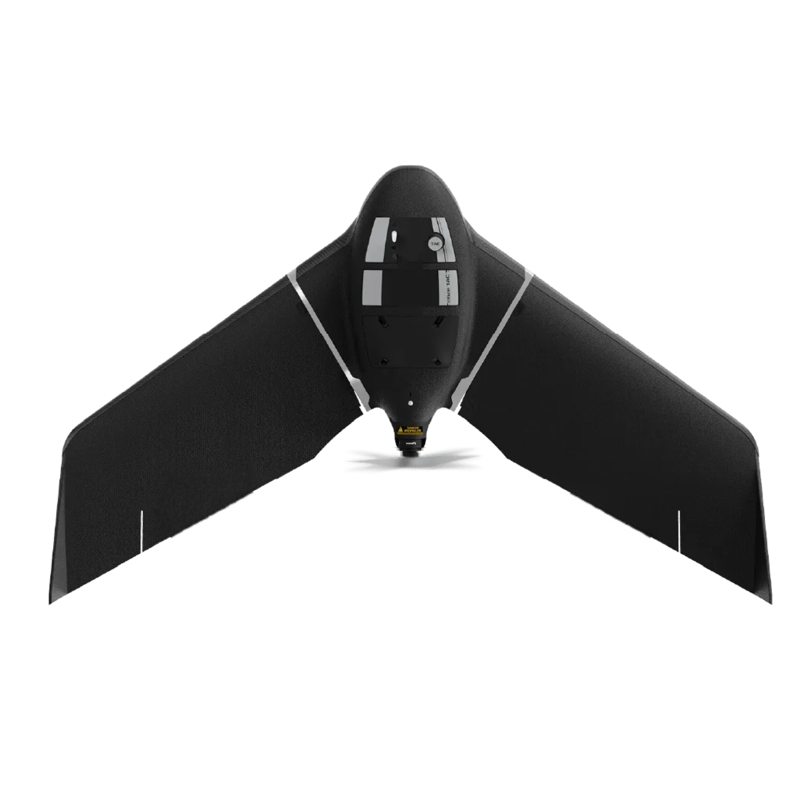
A cyber-secure, tactical version of AgEagle's (senseFly) eBee X fixed-wing mapping drone, aimed at public-safety and defense users. Carried in a backpack, hand-launched and deployed in 3 minutes by one person, it delivers 2D, 3D and thermal aerial data over large areas - up to 500 ha (1,235 ac) in a single 90-minute flight with a 55 km range - at 1.5 cm accuracy using optional RTK/PPK. Its ~1.16 m wingspan airframe weighs just 1.3-1.6 kg, and it's built for discreet operation: an AES-256-encrypted radio link, encrypted SD card, silent radio mission and flight-log suppression, plus a low visual and acoustic signature that makes it nearly undetectable at 300 m AGL. It's Blue UAS registered (cleared for US DoD procurement), is among the only UAVs FAA-approved for Operations Over People, integrates with CivTAK and NATO's MGRS grid via eMotion software, and is trusted by users like the US Army Corps of Engineers and the French Navy.
Price on application
View full interactive profile, comparisons & videos → Check price on Amazon →| Category | Drones |
| Sub-type | Tactical Fixed-Wing Mapping Drone |
| Status | Active |
| Year | 2019 |
| Origin | Switzerland |
| Released | 2019 |
| Weight | 1.6 kg |
| Frame | Curv polypropylene composite |
| Payload | 0.3 kg |
| Max speed | 25 m/s |
| Battery life | 90 minutes min |
| Flight time | 90 min |
| Max range | 55 km |
| Camera | Interchangeable: RGB / S.O.D.A. 3D / thermal / multispectral |
| Use cases | Public-safety mapping, Tactical / defense mapping, Emergency response / disaster mapping |
| Made in | Switzerland |
