

AgEagle · Drones · 2016
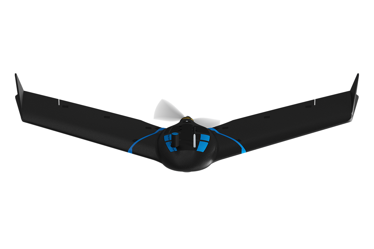
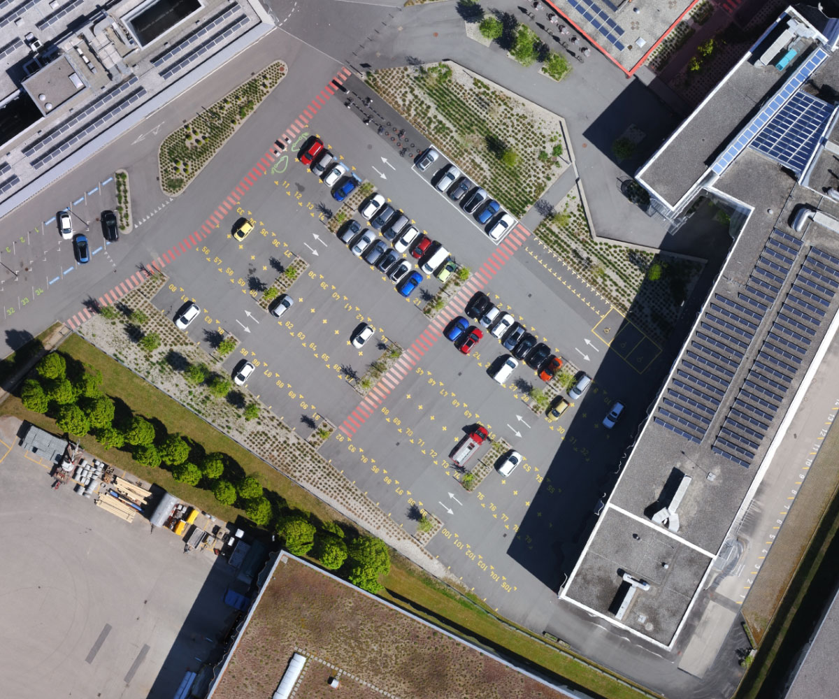
An affordable fixed-wing mapping drone from AgEagle's senseFly eBee line, aimed at surveyors, civil engineers and GIS professionals. Built on the eBee X airframe (~1.16 m wingspan) but kept light at ~1.3 kg - under the 2 kg line for easier regulatory approval and FAA Remote ID compliant - it hand-launches, belly-lands and maps up to 160 ha (395 ac) in a single 45-minute flight at 120 m. Its senseFly S.O.D.A. photogrammetry camera captures sharp RGB imagery that processes into georeferenced orthomosaics, digital surface/elevation models and dense point clouds, with optional RTK for ~2.5 cm accuracy without ground control points. A rugged airframe and ultra-tough under-body skin let it work in harsh conditions, and it flies via senseFly's eMotion planning software, backed by 10+ years of eBee mapping heritage.
Price on application
View full interactive profile, comparisons & videos → Check price on Amazon →| Category | Drones |
| Sub-type | Fixed-Wing Surveying / Mapping Drone |
| Status | Active |
| Year | 2016 |
| Origin | Switzerland |
| Released | 2016 |
| Weight | 1.1 kg |
| Payload | 0.15 kg |
| Max speed | 15 m/s |
| Battery life | 50 minutes min |
| Flight time | 45 min |
| Camera | S.O.D.A. RGB camera, 20MP |
| Use cases | Land surveying, Civil engineering, GIS mapping / stockpile volumes |
| Made in | Switzerland |